First Alert Weather Day: Scattered Strong Storms Possible into the Evening
WACO, Texas (KWTX) - The more widespread shower & thunderstorm activity today has remained well south of Central Texas, but we will continue to have the potential for a few scattered strong thunderstorms as a cold front pushes south through Central Texas during the late afternoon & early evening hours
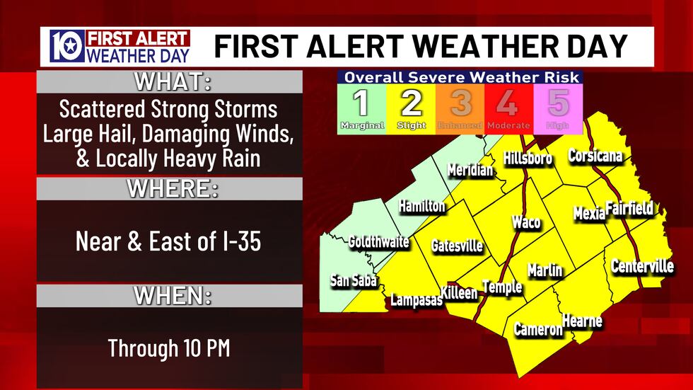
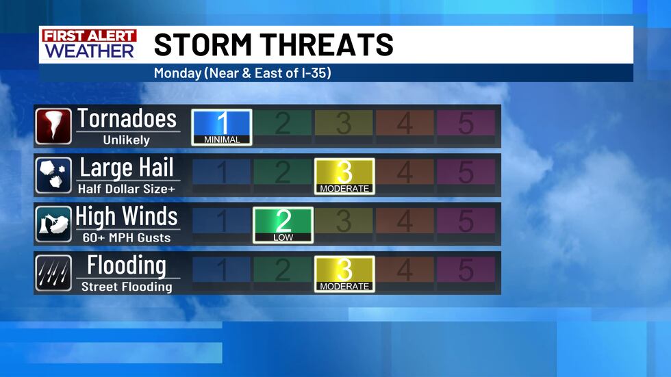
Large Hail & Pockets of Heavy Rain are the Biggest Threat
The scattered storms that form in our area late this afternoon & evening will have the potential to produce hail half dollar size+, and wind gusts up to 60 mph. Fortunately the tornado threat looks very low with this storm setup. As saturated as the ground is across all of Central Texas, any pocket of heavy rain could produce some localized flooding issues.
Scattered storms Develop as a Cold Front Pushes South
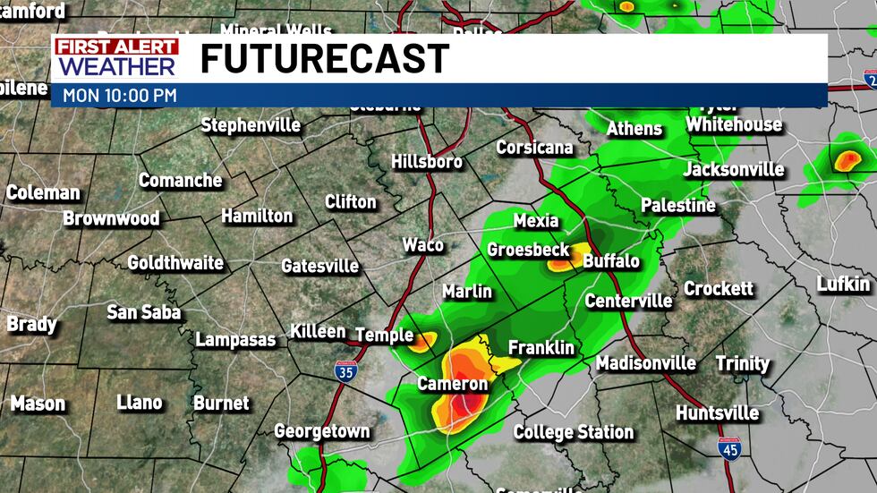
Spotty showers and an few thunderstorms are possible through the afternoon across our southern counties, but for most of us the chance for scattered thunderstorms returns after 4-6pm
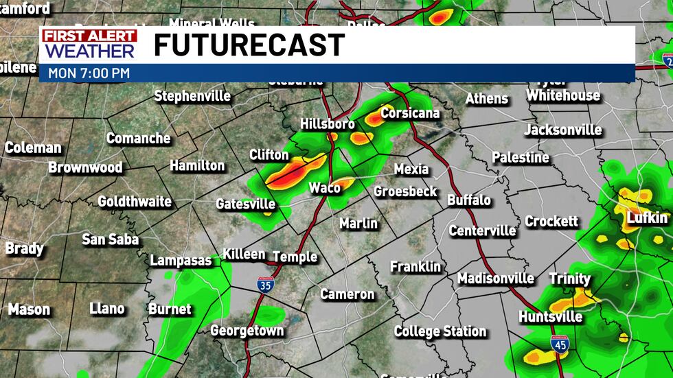
These storms will not be widespread, so not all of us will see storms. Gradually through the evening these storms will shift southeast.
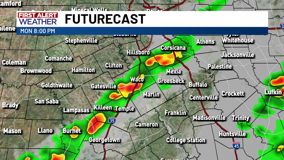
During the late evening hours we should see storms gradually diminish, & our severe weather potential will go down.
Have a way to receive weather warnings!
Be sure to download our free KWTX weather app downloaded and turn those weather alerts on in the app’s settings so you can be alerted to any severe storms overnight. You can also adjust the alerts to make it so you only receive a notification for severe thunderstorm or tornado warnings.

Copyright 2024 KWTX. All rights reserved.