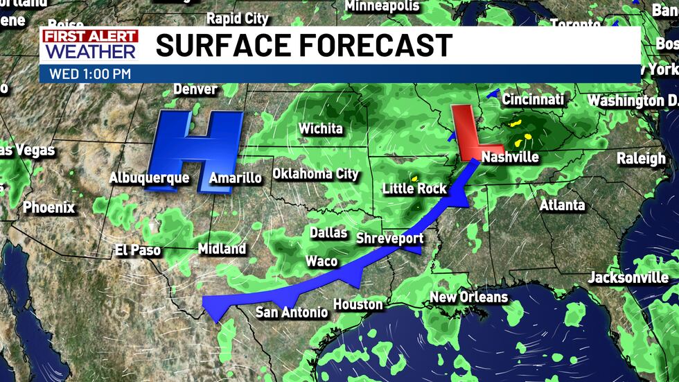
I’m Sorry Sir but Your Cold Front Has Been Delayed... Again.
Forecast models can be fickle, and here we have a great example of that… A few days ago our long range models agreed on a cold front moving through on Monday or maybe Tuesday, then they decided to go haywire and disagreed entirely on not just the timing but the sheer existence of this cold front. Now they finally agree again but our front has been pushed back to Wednesday.
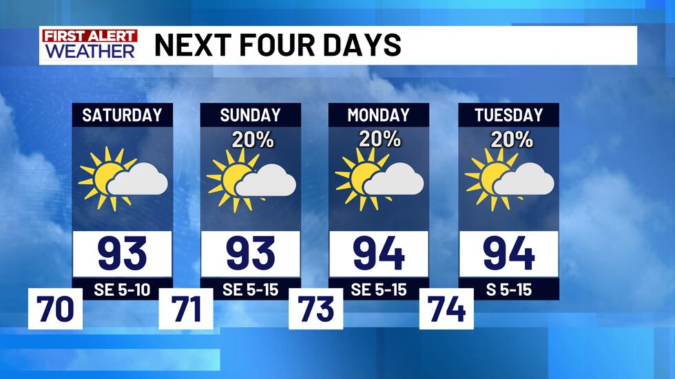
Up until that point we are looking at the same old song and dance everyday as our upper level high just refuses to back down. Highs sitting in the low to mid 90s and the chance of an afternoon thunderstorm or two will be the norm all the way up until this front moves through.
The day of the front moving through will be our best chance for some widespread rainfall, and on the back side of it our temperatures will be dropping down noticeably with highs in the 80s for the back half of next week.
Copyright 2025 KWTX. All rights reserved.


