Watching the Chance for Strong Storms Tomorrow and Cooler Temps Beyond
Cold front day is almost upon us! This hot and sticky afternoon that we are seeing today will potentially be the last one for a while as drier and cooler air is moving in on the back side of this cold front. But that cold front has its own impacts on its way through as well, as in some widespread rainfall and strong storms.
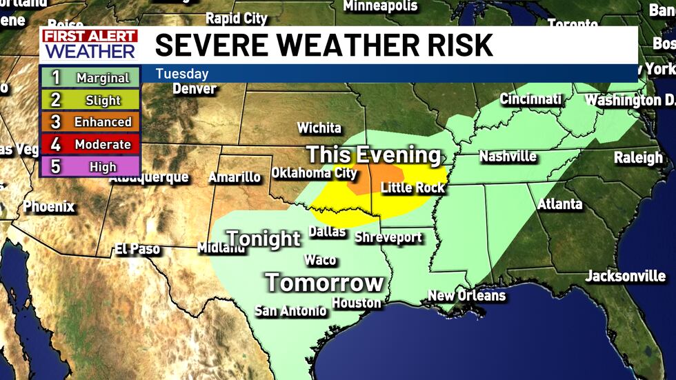
This cold front will be diving south out of Kansas and Oklahoma and should be draped along the I-20 corridor by this evening. From there it will dive south once more in the early morning hours tomorrow and cross through Central Texas between sunrise and the middle of the afternoon. With all the moisture that is present and the strength of this cold front there is a chance for some strong to severe winds within these storms as well as some small hail.

Behind the front we are looking at blue skies and cooler air. Highs are looking to be in the 80s for the foreseeable future so it looks like our fall temperatures are finally showing up.

Copyright 2025 KWTX. All rights reserved.


