More Showers Expected Early Monday Morning
Strong Winds And Minor Flooding Possible For AM Commute
Sunday’s weather has been mostly tame across Central Texas, with the exception of a few scattered showers that scraped across some of our far northern counties (namely Hill and Navarro). The rest of your Sunday evening in Central Texas should be nice and quiet, featuring a few lingering isolated showers (but nothing severe) and temperatures in the upper 70’s and lower 80’s. This somewhat quiet stretch will be broken up by another complex of showers and thunderstorms early Monday morning. While this round has the potential to be somewhat stronger, we are NOT issuing a First Alert Weather Day, as widespread severe weather is NOT expected - but a few storms could feature some strong winds and minor flooding.
Early Monday Morning
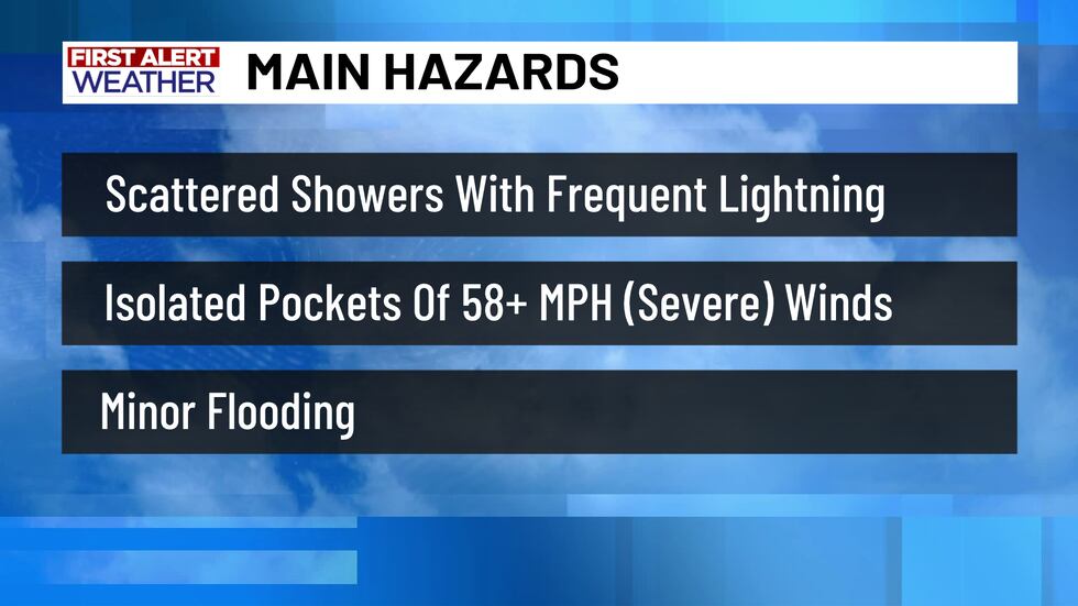
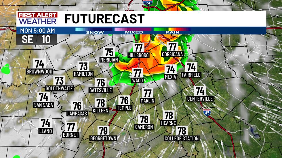
Starting between 3 and 5 AM, a complex of showers and thunderstorms will start to push into Central Texas from the north, near the DFW metro. Some of these storms could contain frequent lightning, strong to severe winds (severe winds are considered 58+ MPH, which is the limit at which a Severe T-Storm Warning is usually issued), but the strong to severe winds are not expected to be very widespread.
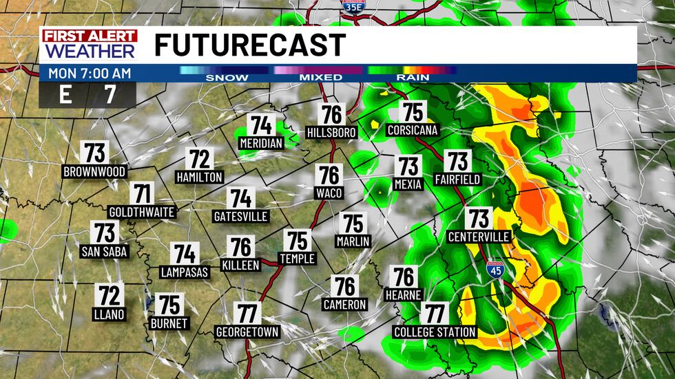
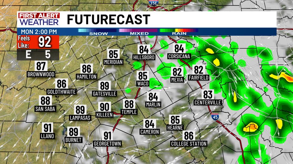
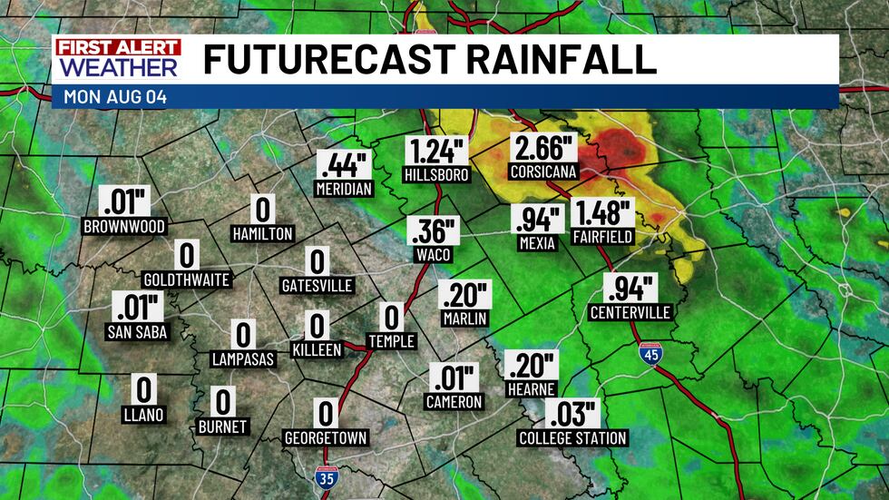
Some of these storms could also produce some heavy downpours (maybe 0.5 to 1+ inches of rainfall in most areas), leading to minor flooding in areas without decent drainage. Areas mainly along and east of I-35 will have the best chances early Monday morning, as these showers and storms move from north to south. They should clear out by the middle of Monday afternoon, leaving a few isolated downpours in their wake.
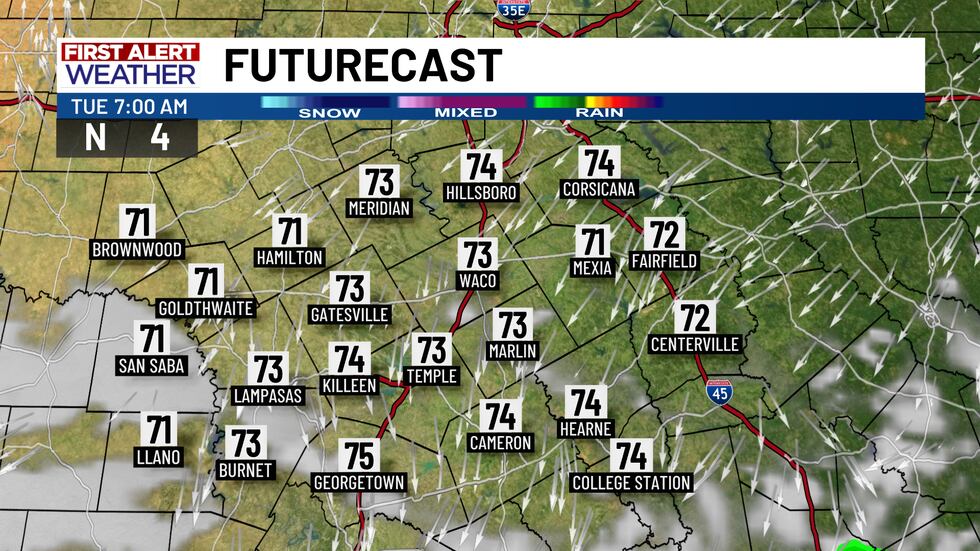
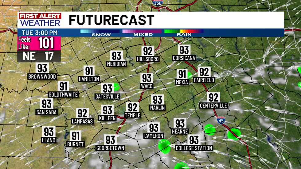
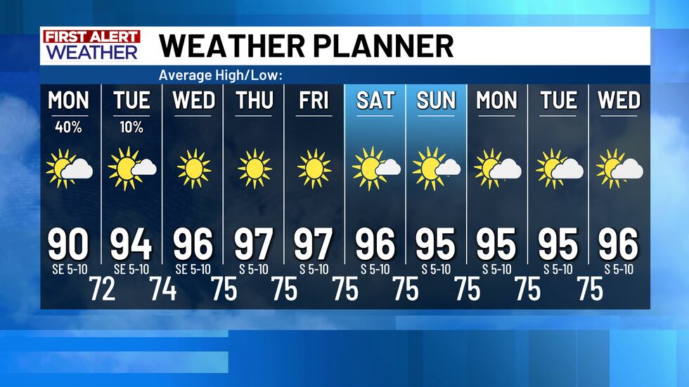
Tuesday should largely see the weather clear out and give way to mostly sunny skies, but a few lingering showers are possible across the Brazos Valley and areas east of I-35. Rain chances are only at 10% on Tuesday at this time, therefore most of Central Texas will only dry out and warm up from Tuesday all the way to the end of the forecast. In fact, the high pressure ridge should build in and strengthen overhead once again, so rain chances are slim to none based on the current forecast data. Temperatures will warm up into the mid to upper 90’s once again from Tuesday and into next weekend at the least.
Copyright 2025 KWTX. All rights reserved.


