Weakening Storms Possible Tonight, Big Changes Still Ahead Midweek!
Fall Begins On Monday!
Hope everyone has enjoyed their weekend thus far! If you are in our western counties (or anywhere west of I-35), you will have a chance to end the weekend with some weakening showers and thunderstorms late tonight. Starting around 7-8 PM, some model data is suggesting that the storms to our north will dive south as they weaken. So be prepared if you are spending any time outdoors west of I-35 this Sunday evening - we are not anticipating widespread severe weather but some of these storms could produce lightning and gusty winds. Despite the small chances for rain tonight and tomorrow (Monday) being the first day of Fall (woohoo!), the next few days look hot and dry. However, BIG changes are still set to roll in by Wednesday!
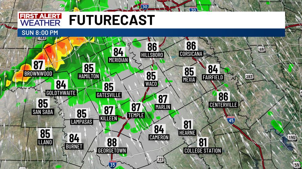
A line of weakening storms approaches from the west on Sunday evening.
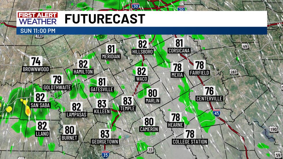
These storms should decay and fizzle out by midnight.
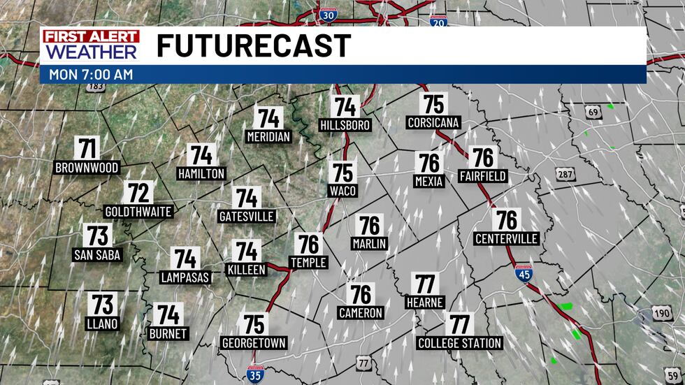
Temperatures on Monday morning will be in the mid 70’s with partly cloudy skies!
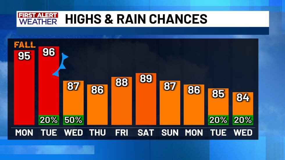
A cold front will move in late Tuesday night and into Wednesday morning. This front will bring increased rain chances and cooler temperatures for the region. Afternoon highs in the 80’s, morning lows in the 60’s, and a 50% chance for showers and thunderstorms are expected on Wednesday. A 20% chance is also in place for Tuesday night. Central Texas can expect at least 0.5 to 1 inch of rain, with isolated spots seeing nearly 2 inches of rainfall through Wednesday. After this front and initial round of storms pushes through, the temperatures will essentially remain the same! There may also be a few upper level disturbances that could lead to more isolated rain chances over the next week, but none of these chances appear to be any higher or more noteworthy than the changes we see on Wednesday.
Copyright 2025 KWTX. All rights reserved.


