Hot & humid weekend with a shot at some spotty rain
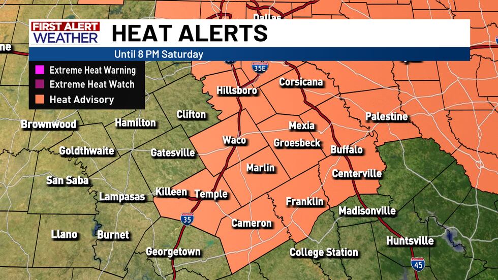
Hot and muggy weather sticks around this weekend with highs in the mid to upper 90s. Heat index values will make it feel closer to 100–108°, especially along and east of I-35, where a Heat Advisory is in effect through this evening. The advisory may get extended in the days beyond, as the latest weather data is continuing to suggest heat index values right around the 105° mark through early next week. So, make sure you are drinking plenty of water and staying cool this weekend!
Most areas will stay dry this weekend, but a plume of tropical moisture could spark a few isolated showers or storms this afternoon, mainly south of Comanche–Marlin–Palestine and into the Brazos Valley. Any storms that do pop up will be brief but could bring heavy downpours, lightning, and gusty winds. A few spotty chances will linger Sunday too.
Looking ahead, the ridge shifts west early next week, opening the door to daily storm chances, especially midweek as a front sags into the area. Best rain chances arrive Wednesday and Thursday, with Central Texas favored. Severe weather looks unlikely, but a few stronger storms with gusty winds and heavy rain are possible.
Temperatures will hold in the 90s early week, then ease into the upper 80s to low 90s by mid-to-late week behind the front. Even with slightly cooler highs, humidity will keep heat indices near 100° most afternoons outside of storm-cooled spots.
TROPICS UPDATE: While Erin did become the first hurricane of the 2025 Atlantic season, Erin is not expected to bring any major impacts to the U.S. east coast. You can learn more about Hurricane Erin and what is going on in the tropics by following this link here.
Copyright 2025 KWTX. All rights reserved.


