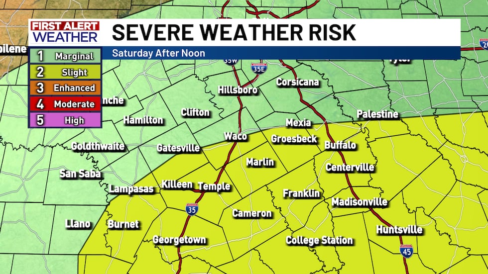
First Alert Weather Day: Another round of Storms Saturday afternoon
We have a nice lull in the rain/storms this morning but it is still a day to stay weather aware. As the day progresses we will once again be watching for more scattered showers and thunderstorms to form, which is why today is a First Alert Weather Day. A few strong storms are possible Saturday afternoon, along with the chance for some pockets of locally heavy rainfall. When we add this rain on top of the overnight rain, the flooding potential will likely increase for parts of Central Texas.
After the scattered thunderstorms Saturday, we look to have much calmer weather Sunday. Sunday looks fantastic—mild, sunny, and pleasant, with highs in the 70s. We’ll warm up briefly on Monday, but then a pair of cold fronts moves through early next week, bringing that real fall feel back. Expect highs in the 60s, lows dipping into the 40s, and mostly dry, comfortable weather through midweek.
Stay up to date by downloading our FREE KWTX First Alert Weather App - it will be especially helpful for an overnight storm event like this!
Copyright 2025 KWTX. All rights reserved.


