FIRST ALERT: Who left the fridge open?!
Well boy, howdy! Although it was an extra long end to the warm weather season this year, it finally feels like the cold weather season! Today is a First Alert Weather Day with freeze warnings in place for nearly the entire area through 9 AM. Make sure you’re ready for the chill as you head out this morning, and make sure those shorts are ready to go later this week.
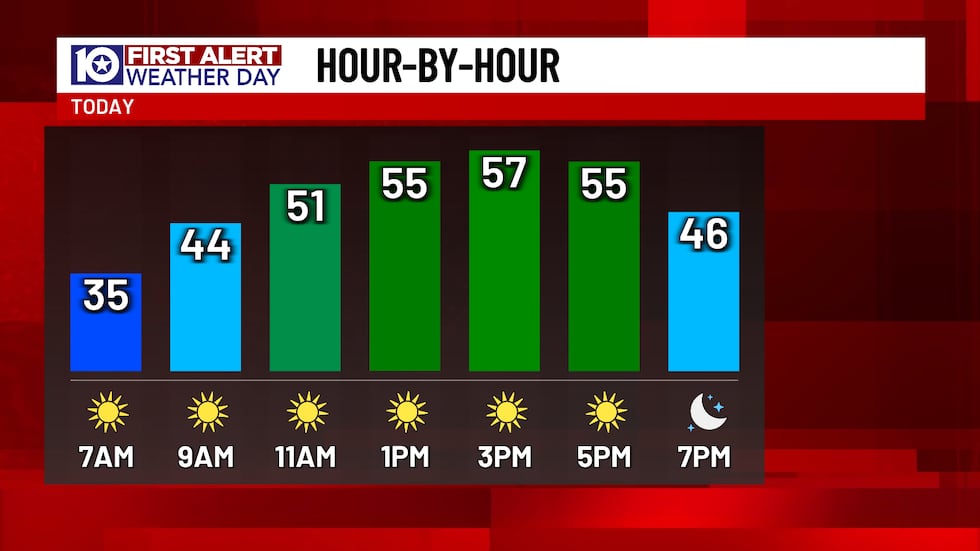
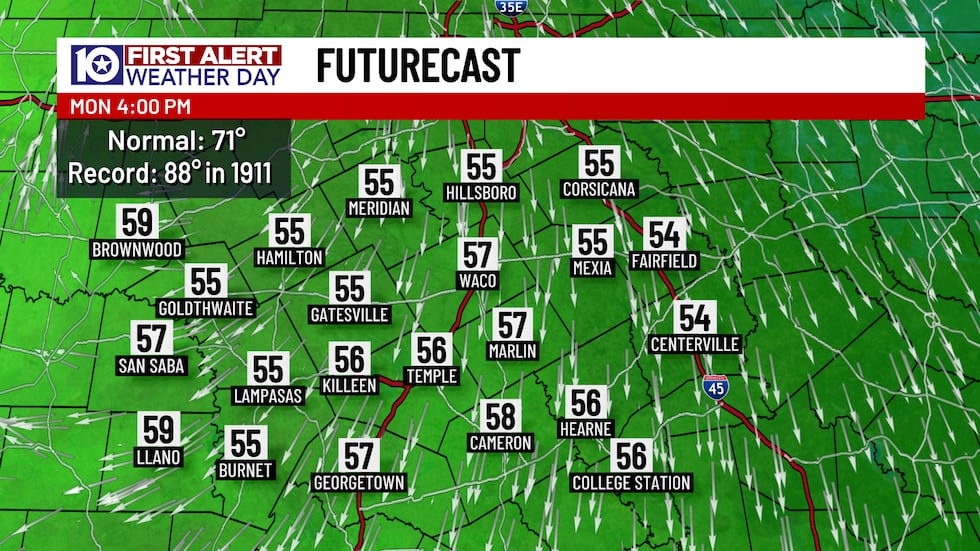
Today’s freeze warning should be the last freeze warning of the season. Since freezing weather happens frequently in Texas, freeze warnings are only issued as a “heads up” that the first freeze of the cold weather season. There’s a chance another freeze warning could be issued the next time temperatures drop to near freezing because we’re mostly out the door in the mid-to-upper 30s with nearly everyone staying above that mystical 32° mark. It’s still cold, don’t get me wrong, and wind chills are making it feel like the upper 20s and lower 30s, but it could be colder! Sunshine is in NO short supply today and we’ll warm up into the mid-to-upper 50s late today. Yes, highs will be close to 15° colder-than-average today, but calm winds joined by the full sunshine means it won’t feel too bad so long as you’re in the sunshine.
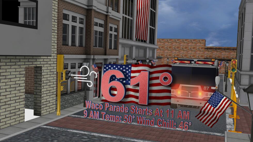
We’ll cool off quickly again tonight with clear skies overhead, but winds will start to shift to come from the south overnight tonight and will kick start the warming trend. It’ll be cold out the door Tuesday morning with sunrise temperatures in the upper 30s and lower 40s, but we’ll warm quickly with that south wind and sunshine to settle in the upper 60s and lower 70s late-day. You’ll likely want a jacket if you’re securing your place at a Veterans Day parade before the parade begins, but you’ll likely want to take that jacket off with 11 AM temperatures expected to be near 60°. South winds will be STRONG tomorrow with occasional gusts between 25 and 35 MPH expected, so wind chills likely stay at or below 50° through about 11 AM.
Tuesday’s south winds will come down a bit Wednesday, but south winds rule the roost through Friday which pulls warmth and humidity back into the atmosphere. We’re warming up into the 50s Wednesday and Thursday morning with lower 60s Friday morning. We’ll also trade those jackets for shorts with afternoon highs near or above 80° Wednesday through Friday. The moisture streaming in will be tapped into by a weekend storm system. There’s still some time to figure out the details, but we’re expecting one big round of light-to-moderate rain being joined by a stray few rumbles of thunder as a cold front pushes through. As of now, the weekend storm system brings us rain chances starting late Saturday afternoon through around midday Sunday with the highest coverage of the rain expected overnight Saturday into Sunday. There’s still time for the timing to shift, but this system is set to bring us around a half-inch of rain at least. Temperatures will drop with the front too, but it’s Pacific origin means we’re only dropping from the lower 80s Friday into the mid-60s by Monday with FINALLY near average temperatures expected for most of next week!
Copyright 2025 KWTX. All rights reserved.


